 CUPRUM METALS
Good copper keeps good company.
Leigh Creek sits in the Adelaide Geosyncline, the same geological province as some of Australia's most significant copper systems. The district has produced copper since the 1850s and remains lightly explored.
A proven copper province.
Mineralisation is sediment-hosted and stratabound, controlled by diapiric breccias and fault zones. Studies show a strong spatial relationship between the diapirs and historic copper workings, which supports the case for mineralisation beyond the defined resources.
The immediate area hosts hundreds of historical oxide workings that have not been tested with modern geophysics or systematic drilling. Copper mining in the district dates to the 1850s, with 900-plus holes drilled in the 1960s to 1980s. None were followed to depth.
Assembling a district, in tiers.
A staged land programme: ground already controlled, ground under discussion, and ground identified by desktop study.
2,056 km²
Controlled, or under signed agreements. The current Leigh Creek holdings plus adjacent tenements.
3,386 km²
Six exploration licences across Beltana, Narrina, Manners Well and Holowiliena, in late-stage discussion. Copper, cobalt and gold prospectivity.
9,042 km²
Identified from desktop study: a 60 by 60 km block north-east of Leigh Creek covering hundreds of historic copper operations.
A single processing centre for the belt.
The Mountain of Light facility is the intended processing centre for a hub-and-spoke model, drawing oxide ore from across the Flinders Ranges copper belt. The consolidation programme is designed to secure the ground before those resources are defined, not after.
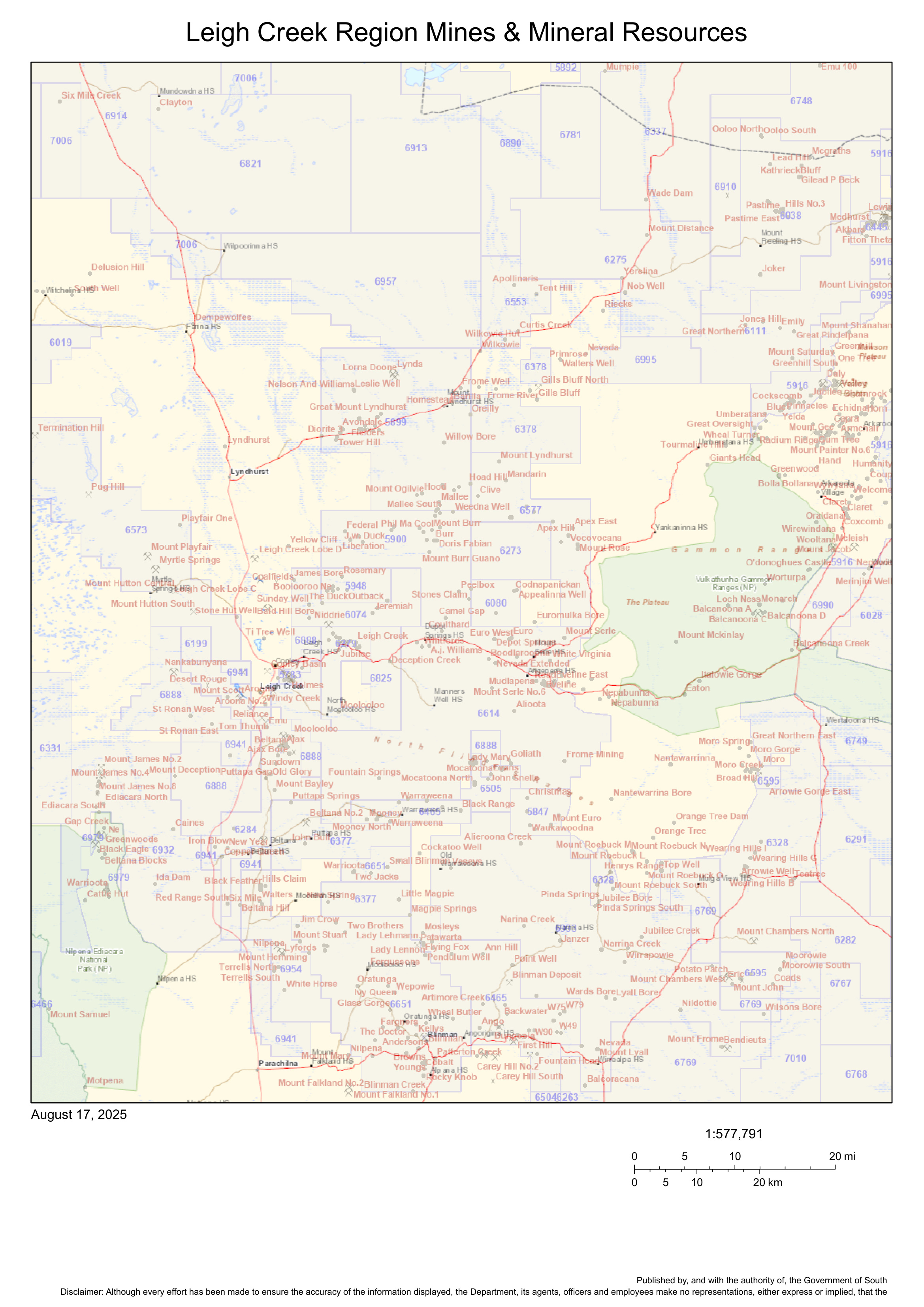
Ground secured before the resource is defined.
The economics and the path to production.
Investor overview